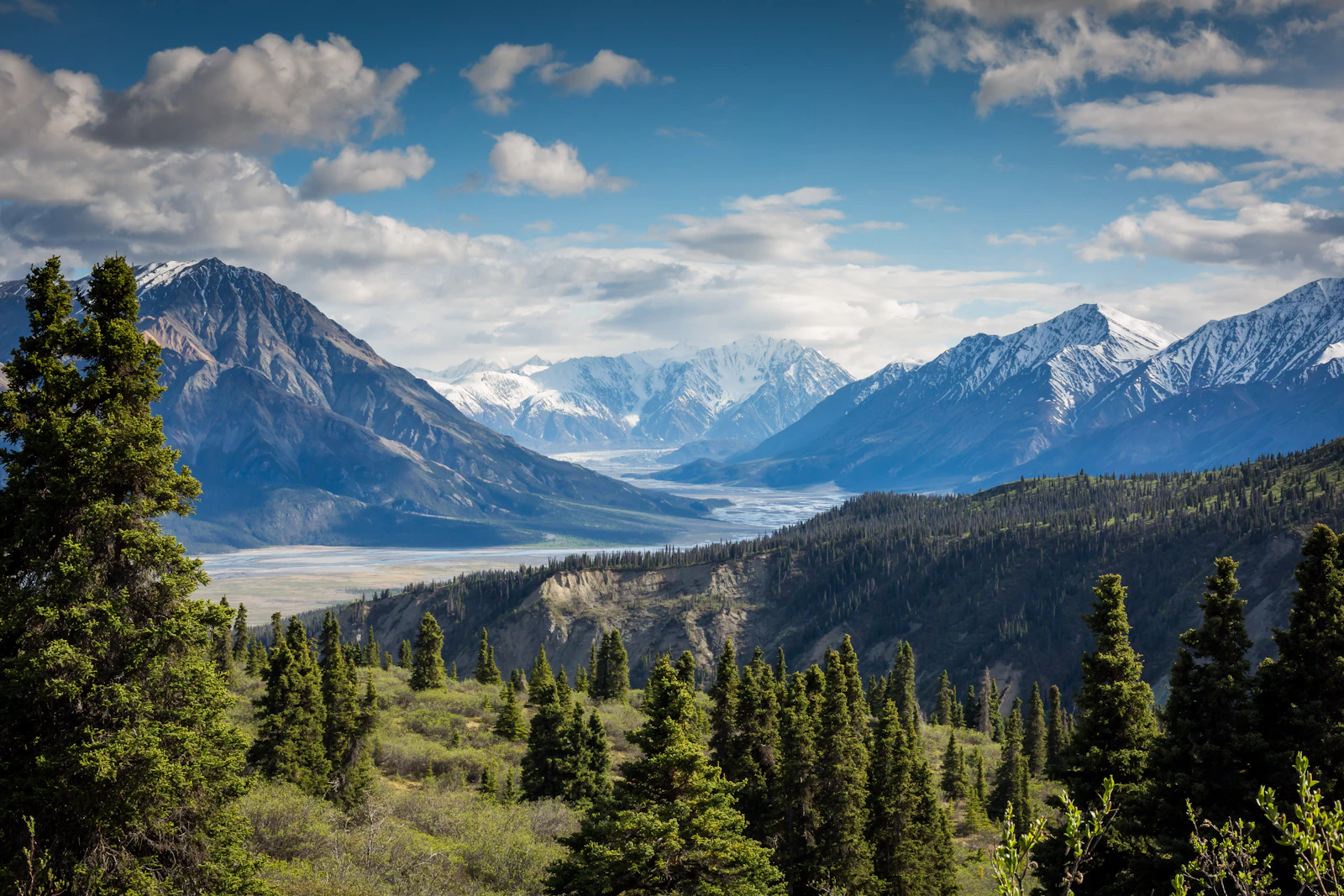
From badlands to boreal, it's all here.
Discover Central Alberta — its communities, landscapes, economic engines and the people who power them — through interactive maps, gallery films and on-the-ground testimonials.
32
Communities
8
Economic sectors
300+
Photo & video assets
Four ways in
Pick a lens, dive in.
Interactive Map
Communities, employers, amenities and recreation areas.
Economic Sectors
Energy, agri-food, health, manufacturing and logistics.
Photo & Video Gallery
Landscapes, workplaces and the lifestyle behind the data.
Testimonials
Workers, employers and community leaders speak for the region.
Why explore here
Three reasons people are paying attention.
Strategic location
On the QE2 between Calgary and Edmonton — the corridor that moves Alberta.
Diverse economy
Not just energy — agri-food, health, tech and advanced manufacturing.
Liveable scale
Big-city services. Small-town commutes. Real outdoors out the door.
90 min
Coast to coast
The geography
Three landscapes, one region.
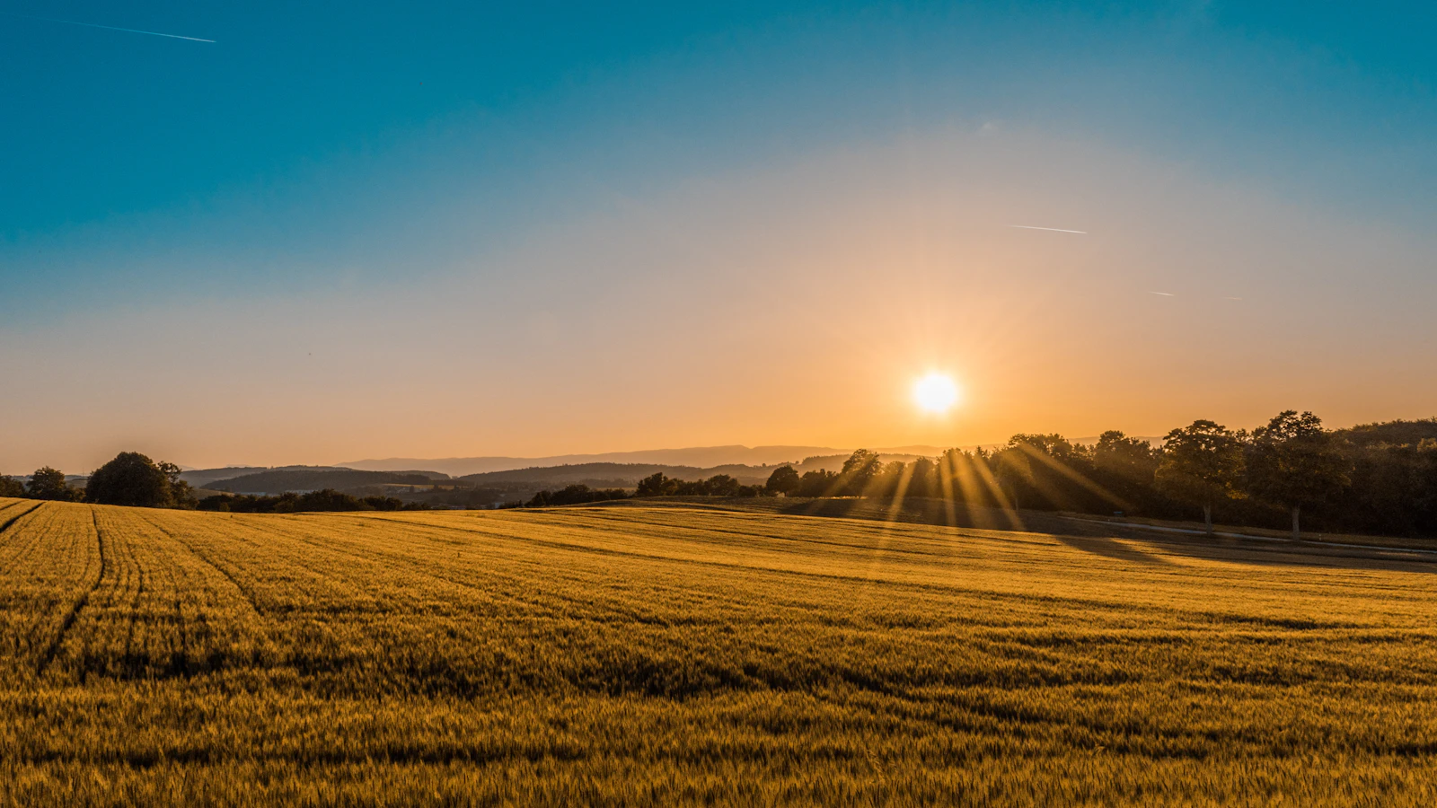
Prairie wheatlands to the east, foothills and parkland through the centre, boreal forest and lakes to the west — all within a 90-minute drive.
- Badlands & dinosaur country
- Parkland & lake country
- Foothills & Rocky Mountains
Three regions
A look at what Central Alberta actually is.
Prairie east
Wheat, canola, big skies
Parkland centre
Lakes & rolling hills
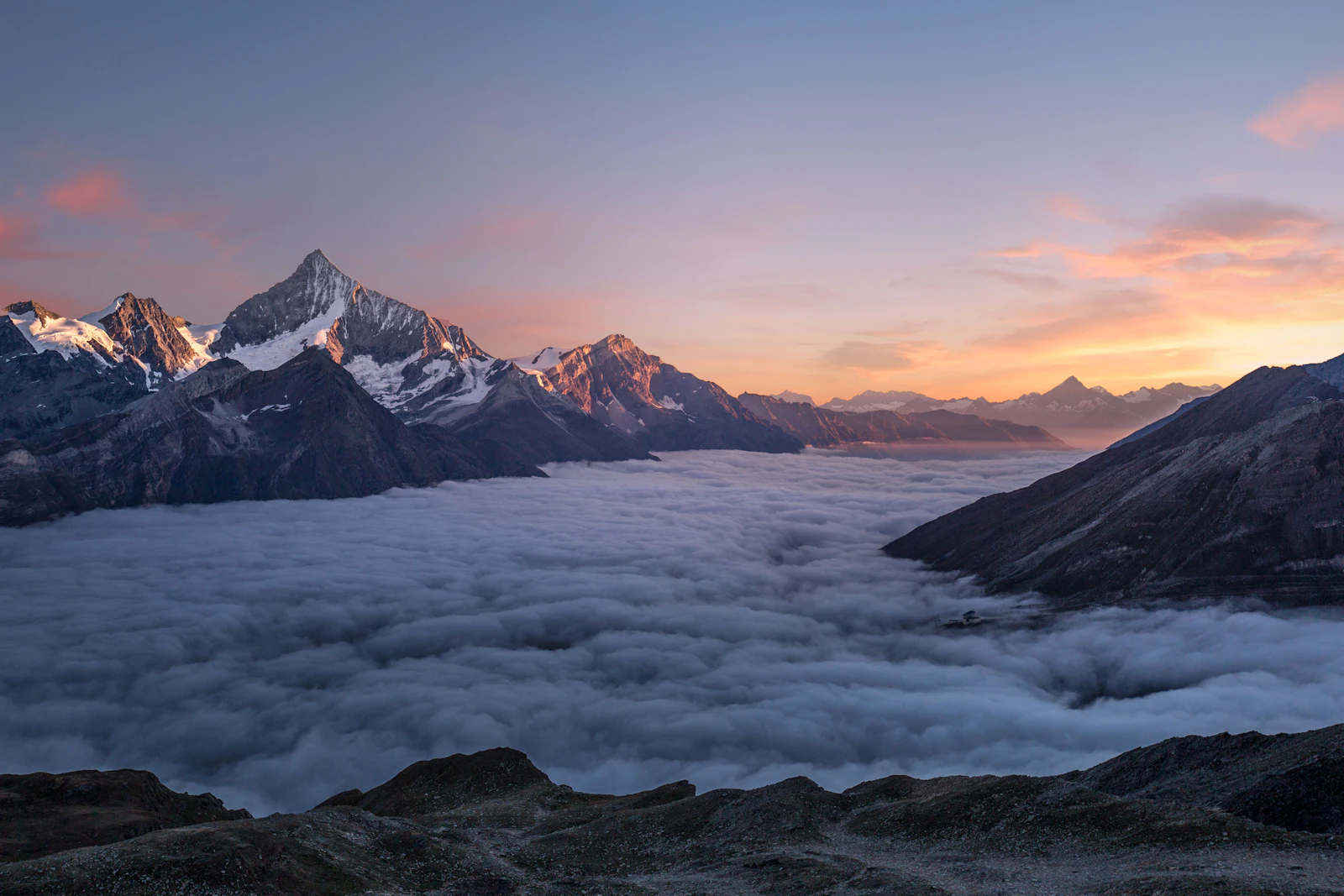
Foothills west
Rocky Mountain backyard
Ready to take the next step?
Talk to a specialist or get started in minutes — no commitment.